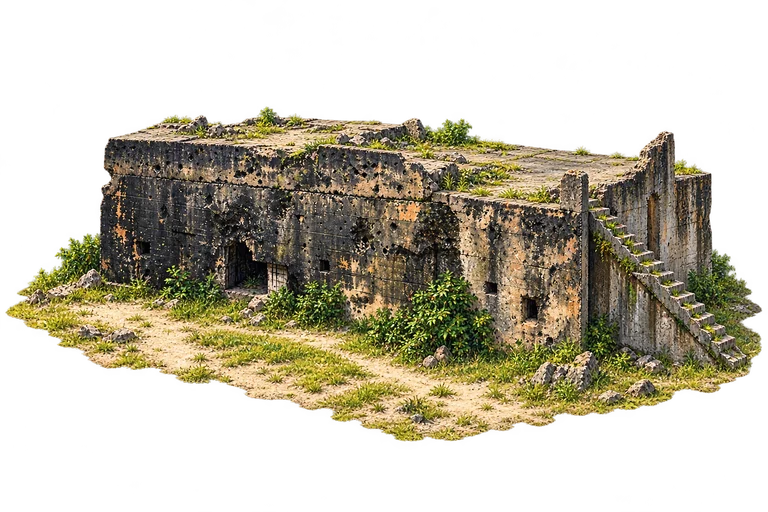
Betio’s surviving Japanese command bunker is one of the Second World War remains on Tarawa. Kiribati’s tourism guide identifies the large northern Betio command bunker beside a later church, while a 2023 visitor’s report photographs the surviving structure in its modern surroundings. Its thick concrete walls and small openings offer a quiet way to think about the fierce fighting in 1943. This is a place for remembrance, rather than a reconstruction of a battle.
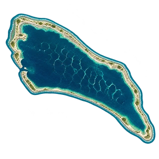
Kanton is an atoll in Kiribati’s Phoenix Islands. A NASA Landsat image acquired on 6 February 2000 records its narrow land ring, lagoon and reef. An inlet on the western shore connects the lagoon with the surrounding ocean.
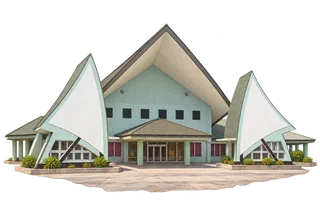
Kiribati’s House of Assembly is called the Maneaba ni Maungatabu. Its name connects the national parliament with the maneaba, the meeting house central to I-Kiribati community life. The parliament’s own account places the building at Ambo on South Tarawa and describes that traditional inspiration. Here the high central hall, low entrance porch and pointed white wings turn an everyday place of debate into a recognisable island landmark.
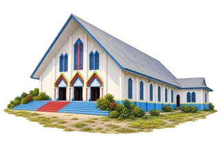
Sacred Heart Cathedral stands at Teaoraereke on South Tarawa. A firsthand Catholic institutional report records a Good Samaritan profession ceremony there in 2009, showing its role as a gathering place for a living community. Its white gabled frontage is enlivened by blue trim, tall geometric windows and colourful pointed entrances. The church’s long nave gives this small island landmark a very different character from a stone cathedral with towers and spires.
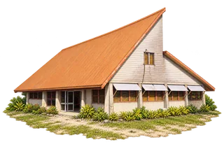
Te Umwanibong is Kiribati’s cultural museum on South Tarawa. The government’s Culture and Museum Division traces its organisation to 1987 and the dedicated museum building to 1991, with support from New Zealand. Its work includes preserving and documenting I-Kiribati culture. The modest building’s sharply pitched orange roof is an inviting reminder that a nation’s memory can live in a small, practical place as well as a grand monument.